- (480) 983-3454
- info@azsalt.org
- Mon - Fri: 9:00AM - 5PM
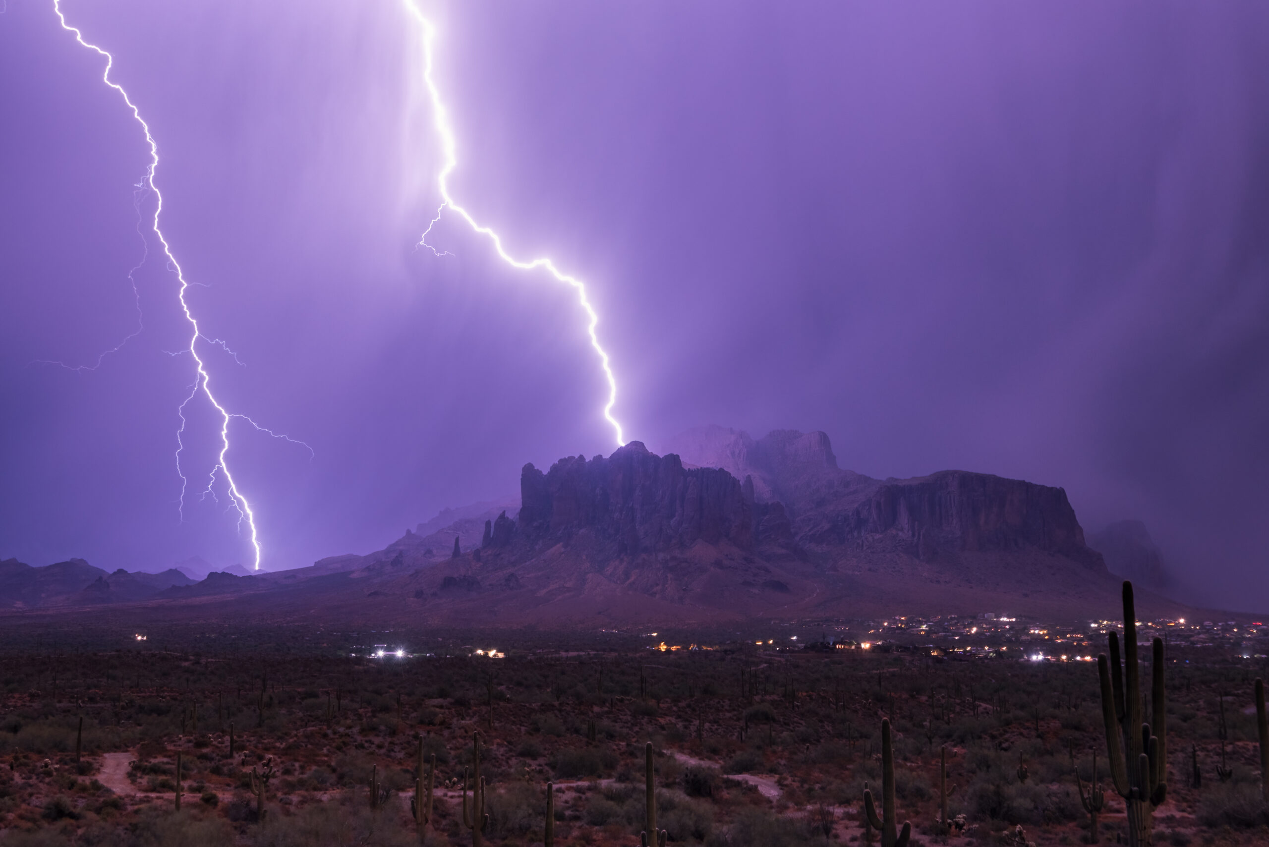
The beauty, majesty, and intrigue of the Superstition Mountains and the surrounding area have long drawn both local residents and those from throughout Arizona and beyond. As lands near and/or immediately adjacent to the Superstition Wilderness Area (SWA) began to develop during the 1980s-1990s, some locals became concerned about continued recreational access to the SWA and the adjoining Superstition Foothills, as well as the potential negative effects of development on the viewsheds and scenery of the region. While they recognized that the SWA and surrounding Tonto National Forest lands were fairly safe, they also realized that the same was NOT true for the adjacent foothills on the southern border of the SWA.
Then, as now, these lands are predominately owned by the Arizona State Land Department (ASLD), which is effectively a real estate development corporation responsible as trustee for managing the land for financial benefit of public education and the other beneficiaries. ASLD land directly adjoins the SWA’s southern boundary (from east to west) for over eleven miles, and development already directly abuts the wilderness area for one mile. It also borders on the thin strip of Tonto National Forest immediately adjacent to the west and southwest edges of the SWA for another 3.5 miles.
The Superstition Area Land Trust (SALT) was formed in 1993-94 to advocate and work for conservation of these crucial areas threatened by development. During the 1990’s, SALT participated with other Arizona conservation organizations in three different attempts to reform Arizona relative to conservation of ASLD lands. All three attempts failed, though one came close to passing.
SALT’s reaction to failure of the three ASLD reform efforts was to develop a land plan for the area to better inform the decision makers regarding conservation values and opportunities. As one activist stated, “If we can’t change the legal framework, let’s try to influence the decision makers with objective facts…” SALT raised money, hired a consultant, then developed and released the Superstition Area Land Plan (SALP). Interestingly, the condensed version contains no date, although we know it was released around 2000-2001.
The SALP included some 104 square miles (or 66,560 acres) north and east of Gold Canyon, and extending from the southern edge of the SWA to a bit south of US 60. The land plan calls
for 43% (approximately 45 sections, or 28,800 acres) of the land to be conserved, with the remaining 57% open for development (Figure 1).
Next came Superstition Vistas, which encompassed some 275 square miles, more than 2.6 times the size of the SALP study area. Superstition Vistas is about the size of Mesa, Chandler,
Tempe and Gilbert combined, and includes the area bounded by SALT’s SALP. (Figure 2). This study was completed in 2007 and was overseen by the Pinal Partnership and the East Valley

Partnership. Superstition Vistas extends from Apache Junction and the Superstition Mountains Wilderness Area south to Florence, and from the Pinal/Maricopa County line on the west to east of Florence Junction.” (from Superstition Vistas: Unlocking Its Potential).
Figure 1. This map shows the area studied by the Superstition Area Land Plan (SALP) as well as those areas recommended for preservation and various other uses (see legend details).
Superstition Vistas incorporated the large open space advocated by SALP, but stressed sustainability overall and the overarching idea that sustainability requires a balance among economic, environmental, and community goals when the area is developed.
Although 2007 has been widely quoted for publication of the Superstition Vistas report, in reality there were a number of different papers and presentations released over a number of years. The Superstition Vistas Board still meets annually.
Figure 2. This map shows the area studied by Superstition Vistas.
Both the SALP and Superstition Vistas were developed by non-profit organizations. It took both the development of the Pinal County Open Space and Trails Master Plan (2007) and update of the Pinal County Comprehensive Plan (2009) to make at least some of these elements official. While that comprehensive plan did not call for conservation of as much of the Superstition Foothills as did the SALP, it did initially retain the “Preserve“ designation for a considerable portion of the ASLD piece of the Superstition Foothills (Figure 3).

The Pinal County Comprehensive Plan (2009) to make at least some of these elements official. While that comprehensive plan did not call for conservation of as much of the Superstition Foothills as did the SALP, it did initially retain the “Preserve“ designation for a considerable portion of the ASLD piece of the Superstition Foothills (Figure 3).
Figure 3. The part of the Superstition Foothills marked in white lost the “Preserve” designation in the Pinal County Comprehensive Plan update.
However, in 2011 the Pinal County Board of Supervisors relented to pressure from the ASLD, agreeing that ALL ASLD land must be open to at least the lowest density development (one dwelling per acre) – a decision that crucially remains in place today.

Since nearly all of SALT’s targeted conservation land was (and is) ASLD land, SALT joined with other conservation organizations state-wide on three separate ballot initiatives through the 1990’s aimed at enabling conservation of ASLD land. While all three attempts failed (with the last coming very close) they did eventually lead to passage of legislation that makes it theoretically easier for cities to conserve nearby ASLD land. Most importantly, land in specifically designated townships in Pinal and Coconino counties – including SALT’s targeted conservation land in the Superstition Foothills – were designated for possible conservation.
Excerpts from the applicable statutes are included in APPENDIX A.
Thus, the process for conserving ASLD land exists, though to our knowledge has not been used anywhere in Arizona. Conservation of significant amounts of such land is likely to be very expensive IF the target land is highly valued by developers or others of significant financial means – as is the case for the Superstition Foothills.
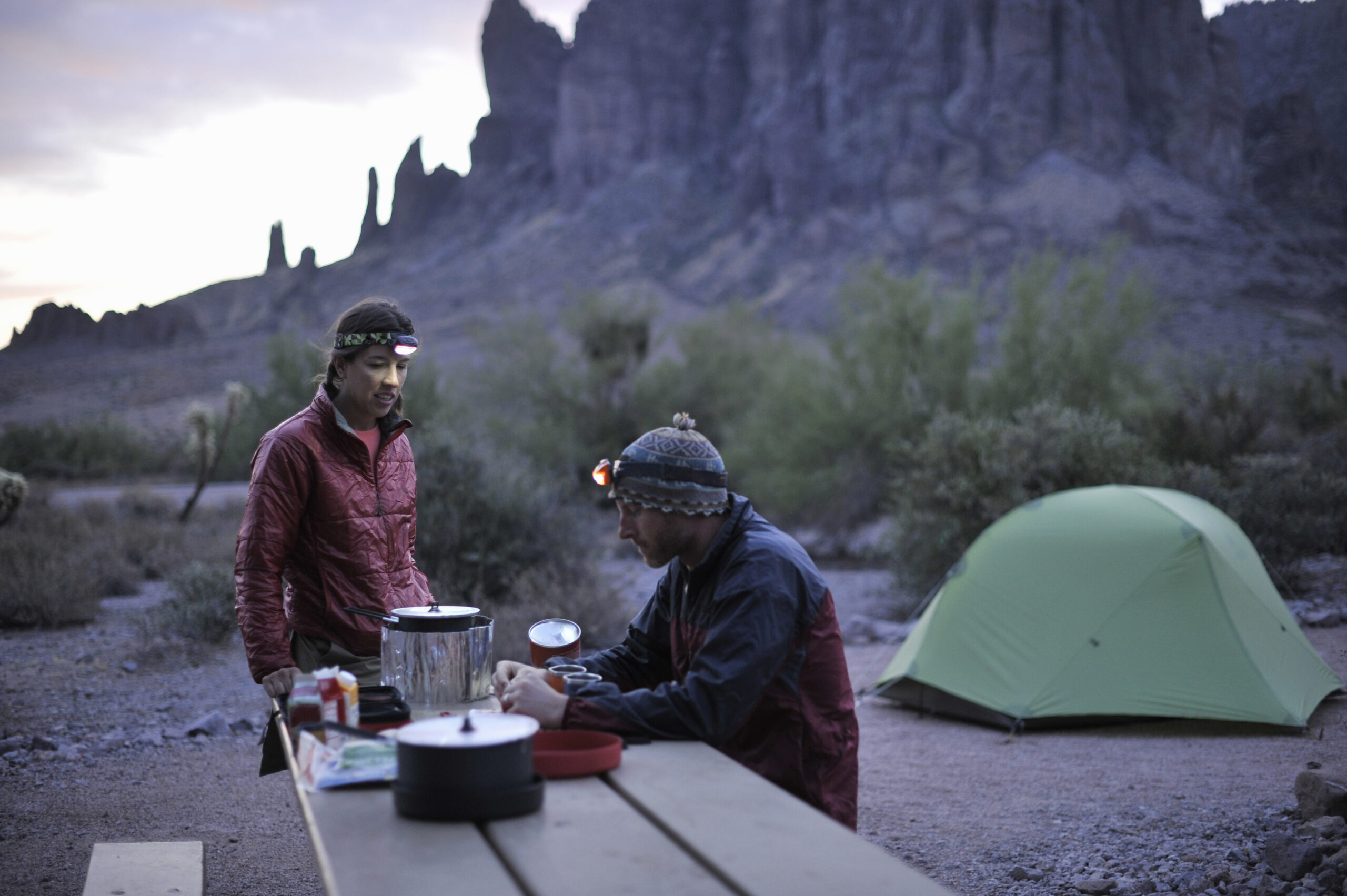
SALT and others have worked diligently for about three decades to conserve the Superstition Foothills – albeit with little real progress. SALT does own the 5-acre SALT Outpost near Peralta Trailhead, and 78-acre Tony Ranch adjacent to the southeast corner of the SWA (roughly north of Superior).
SALT does have many committed, widely-scattered friends, volunteers and benefactors. The preponderance of support, however, is and has been in the local area, primarily Gold Canyon and Apache Junction. These areas have a limited population, and therefore somewhat limited influence. The Superstition Foothills Destination Park Exploratory Committee (SFDPEC) was formed with the assumption that appealing to a larger population base would be helpful. It is widely acknowledged that Phoenix’s entire East Valley identifies with the Superstitions. In fact, one often hears that the Superstitions are Arizona’s second most iconic place after the Grand Canyon.
After a couple of test-the-waters meetings, a group of prominent leaders from Phoenix’s East Valley and beyond formed the SFDPEC. Their efforts were based on the premise that a visitable open space park would be identified with AND supported by Phoenix’s entire East Valley. In fact, the group of 12-15 soon began using the acronym EVE (for East Valley Extended) to refer to not only the East Valley cities in Maricopa County (Mesa, Tempe, Chandler, Gilbert and Queen Creek), but also the Pinal County populations to the east (San Tan Valley, Apache Junction, Gold Canyon, Florence, and eventually much of the now developing Superstition Vistas).
The consensus image is that a “destination park” in the ASLD portion of the Superstition Foothills would a) conserve the widely-appreciated viewsheds (Superstition Vistas) of the area, b) conserve the Superstition Foothills for their inherent conservation and recreational values, and c) serve as an area of responsibly-managed recreation land buffering the south border of the SWA.
Creation of the SFDPEC demonstrates that the Superstition Foothills and their native open space environment are greatly valued and identified with populations far beyond Gold Canyon. In fact, it can be argued that the totality of the East Valley Extended – with its 1.5 million plus population – may well have a far greater influence on conservation of the Foothills than Gold Canyon alone. This unincorporated area, with a population of approximately 11,500, is part of Pinal County Supervisor District 5, with a total population of 81,000-88,000. Most of the district’s population is in Apache Junction and the northern portion of San Tan Valley. That means that the plurality of political influence on even our own District 5 Supervisor is outside of the immediate Gold Canyon area. It is obvious that a more regional, collaborative approach to conserving the Superstition Foothills is more likely to be successful.
Another non-profit, Gold Canyon Community, Inc. (GCCI) recently completed a Gold Canyon community survey that drew a very successful 10+% response rate. The clear and nearly- unanimous, #1 concern was retaining Gold Canyon’s open space environment and ambiance. Impressively, the survey showed the community values its dark skies nearly as much as its open space; every other option was a distant third and lesser concern.
For many in the conservation movement, the survey quantified what we had long maintained to be true – though with a strength of response that exceeded expectations. The Gold Canyon community exhibits near unanimity, and even great passion, in valuing open space. At the same time, the lack of attention to HOW such conservation might take place is also noteworthy. The big conundrum has always been that simply desiring it will not make it happen.

The Superstition Area Land Trust (SALT) works with public agencies to protect vulnerable Sonoran Desert foothills—part of Arizona’s 9 million acres of state trust land—threatened by urban sprawl and managed primarily for revenue.

Donating to the Superstition Area Land Trust (SALT) helps preserve the Sonoran Desert’s fragile foothills, wildlife, and open spaces for future generations.