- (480) 983-3454
- info@azsalt.org
- Mon - Fri: 9:00AM - 5PM

When you stand at the base of the Superstition Mountains today, it’s easy to assume the desert stretching toward those towering cliffs has always been protected.
Saguaros dot the foothills. Trails disappear into the mountains. Wildlife moves between the open desert and the wilderness beyond. From many places around Gold Canyon and Apache Junction, the Superstitions still rise above a landscape that feels remarkably wild.
But there’s an important piece of local history that often gets overlooked:
The Superstition Mountains may be protected wilderness, but much of the desert at their feet is not.
And more than 30 years ago, a group of local residents realized just how much that distinction mattered.
During the 1980s and 1990s, development began changing the landscape around the Superstitions.
New homes and subdivisions were appearing. Long-used access points to the mountains were becoming more complicated. Residents began worrying not only about losing trails, but about what continued development could mean for wildlife habitat, desert scenery and the unmistakable views of the Superstitions.
The Superstition Wilderness Area and much of the surrounding Tonto National Forest had significant protections.
The southern foothills were a different story.
Much of that land was — and remains — Arizona State Trust land. In fact, State Trust land directly adjoins the southern boundary of the Superstition Wilderness for more than 11 miles.
For the people watching the area change, the question became increasingly important:
What happens to the Superstitions if we protect the mountains but lose the desert surrounding them?
That concern helped lead to the formation of the Superstition Area Land Trust in 1993–94.
SALT’s purpose wasn’t to stop all growth.
It was to find a way for growth and conservation to coexist while protecting some of the places that made the Superstition foothills special in the first place.
During the 1990s, SALT joined other conservation organizations in several attempts to reform how Arizona State Trust lands could be conserved. When those efforts were unsuccessful, SALT took another approach.
Instead of simply saying, “Save the desert,” the organization began asking a more practical question:
Which land is most important to conserve, and why?
SALT raised money, hired a consultant and developed what became known as the Superstition Area Land Plan.
The study examined approximately 104 square miles — 66,560 acres — stretching from the southern edge of the Superstition Wilderness toward U.S. 60.
What makes the plan particularly interesting today is that it wasn’t a proposal to preserve everything.
The plan recommended conserving approximately 43% of the study area, or 28,800 acres, while leaving the remaining 57% available for development.
It was an early attempt to answer a question the region is still wrestling with decades later:
How do you accommodate growth without losing the landscape that made people want to live here in the first place?
One of the clearest examples of why conservation mattered could be seen on the ground.
As subdivisions expanded during the early 1990s, hikers, horseback riders and bicyclists began finding that some traditional routes into the Superstitions had been cut off by development.
In 1993, Pinal County approached SALT about helping support a federal grant proposal for permanent public access.
What followed took years.
Approximately $350,000 was needed to permanently lease the trail right-of-way from the Arizona State Land Department, with additional funding used for signage and parking areas. Hundreds of volunteers and multiple organizations ultimately helped make the project happen.
After roughly a decade of planning and construction, the Lost Goldmine Trail opened in 2002.
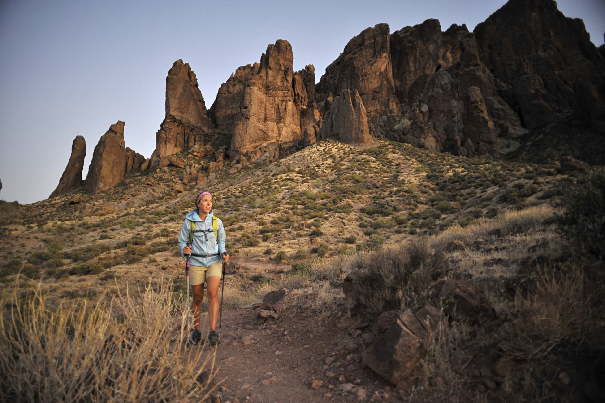
Today, the trail stretches approximately 11 miles across the southern face of the Superstitions, connecting the Peralta area with Lost Dutchman State Park and providing permanent access for hikers, mountain bikers and horseback riders. SALT volunteers continue helping maintain it.
For someone hiking it today, it’s simply a beautiful trail.
But its history tells a bigger story.
Public access that feels permanent today exists because people decades ago recognized that it might not remain permanent without action.
That same year, SALT made another investment in the foothills.
In March 2002, using private donations, SALT purchased a five-acre property near the Peralta Trailhead that became known as the SALT Outpost.
The property includes diverse desert vegetation and a seasonal waterway and has become part of SALT’s conservation and educational work.
Then came another piece of Superstition history.
In 2008, SALT acquired Tony Ranch in Haunted Canyon, a 78-acre property near the southeast corner of the Superstition Wilderness.
The ranch itself reaches much farther back in time. William Toney originally homesteaded the property in 1915, and the site includes a log cabin dating to 1919, remnants of a corral and an old apple orchard.
SALT’s acquisition preserved not only open land, but a tangible piece of the human history of the Superstitions.
The East Valley looks very different today than it did when SALT began.
But drive toward the Superstitions at sunset and something remarkable still happens.
The neighborhoods eventually give way to open desert.
The saguaros become more numerous.
The mountains get bigger.
And for a moment, it’s possible to imagine this place decades — or even centuries — ago.
That experience isn’t guaranteed forever.
Nearly all of the land SALT has identified for potential conservation in the Superstition Foothills is Arizona State Trust land, and those foothills sit directly in the path of one of Arizona’s major areas of metropolitan growth.
That’s what makes SALT’s history more than an interesting story from the 1990s.
It’s a reminder that conservation often happens before most people realize something is in danger of disappearing.
The Superstition Mountains themselves will continue towering over the East Valley.
But the experience of the Superstitions is about more than the cliffs.
It’s the open desert leading toward them.
It’s the wildlife habitat surrounding them.
It’s the trail you can still reach.
It’s the uninterrupted view across miles of Sonoran Desert.
And it’s the feeling that, despite everything that has changed around it, there are still places where Arizona looks unmistakably wild.
More than three decades ago, a group of local residents looked toward the Superstition foothills and decided those places were worth thinking about before they disappeared.
Today, the mission of the Superstition Area Land Trust remains the conservation of the natural Sonoran Desert and open spaces surrounding the Superstition Wilderness Area for this and future generations.
The story isn’t finished.
And perhaps that’s the most important piece of history of all.

The Superstition Area Land Trust (SALT) works with public agencies to protect vulnerable Sonoran Desert foothills—part of Arizona’s 9 million acres of state trust land—threatened by urban sprawl and managed primarily for revenue.

Donating to the Superstition Area Land Trust (SALT) helps preserve the Sonoran Desert’s fragile foothills, wildlife, and open spaces for future generations.